Track 24 km
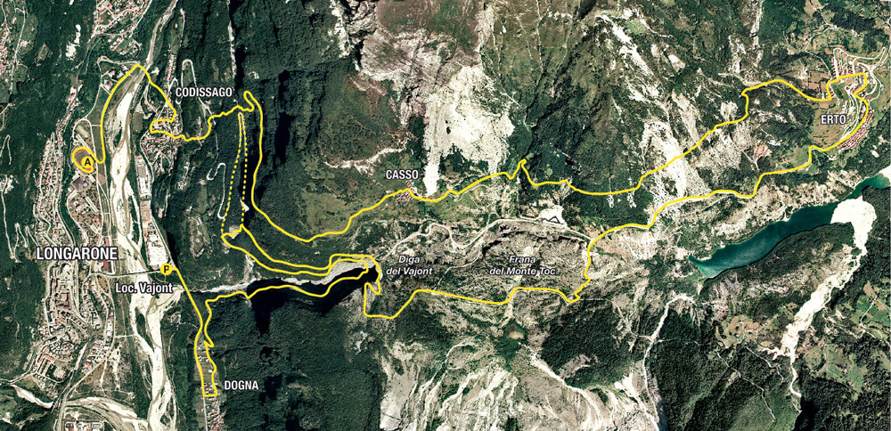
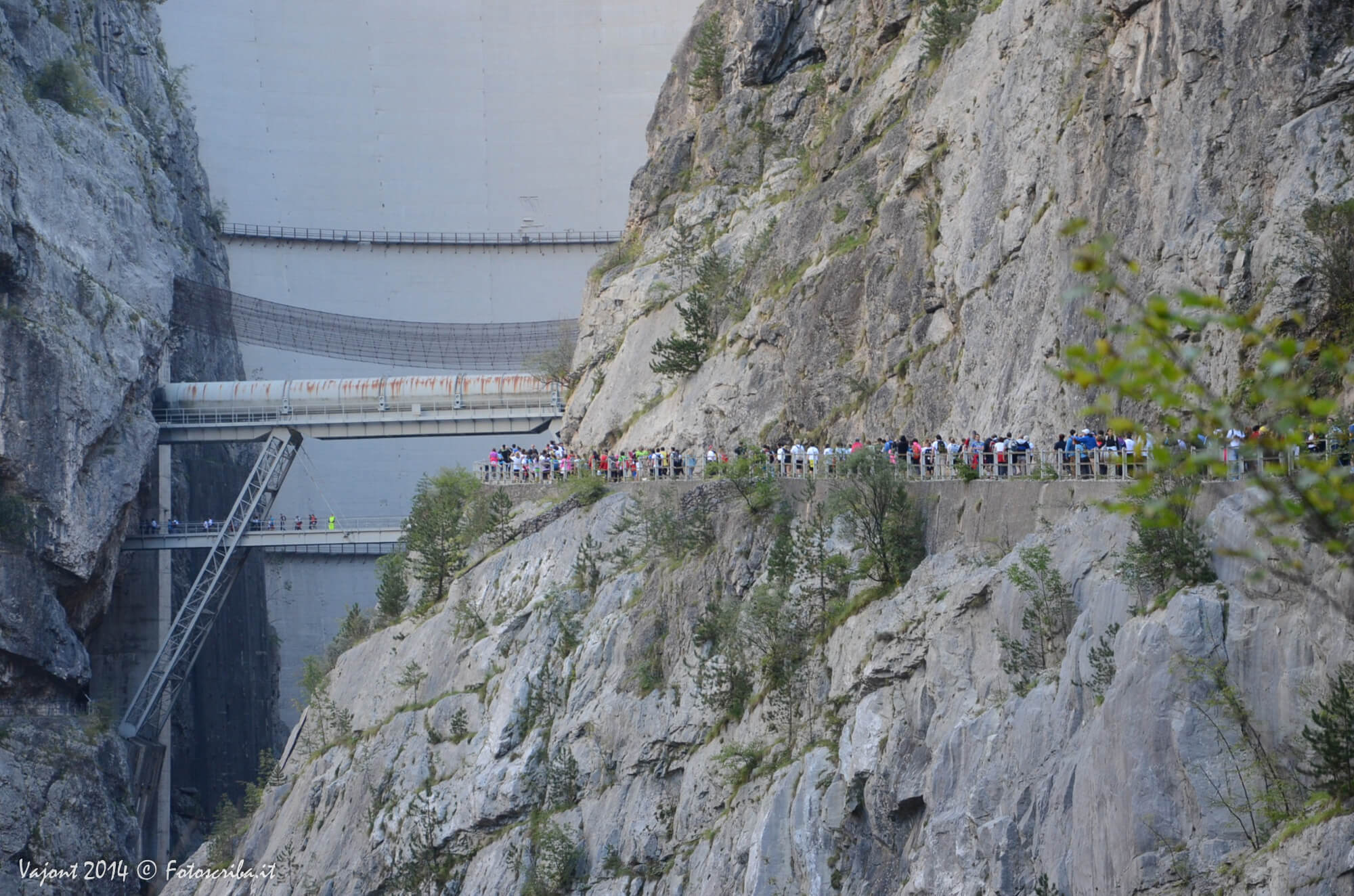
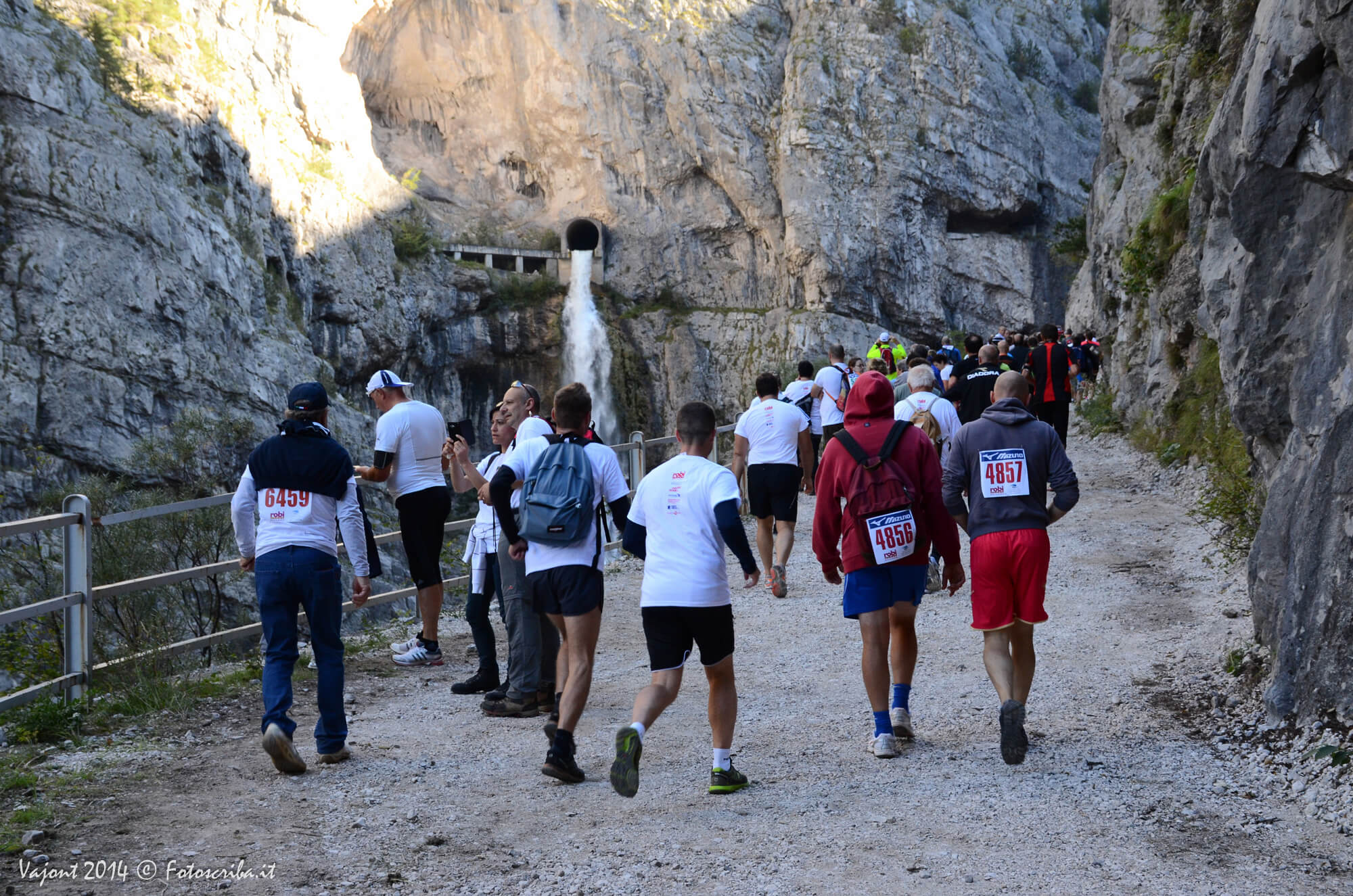
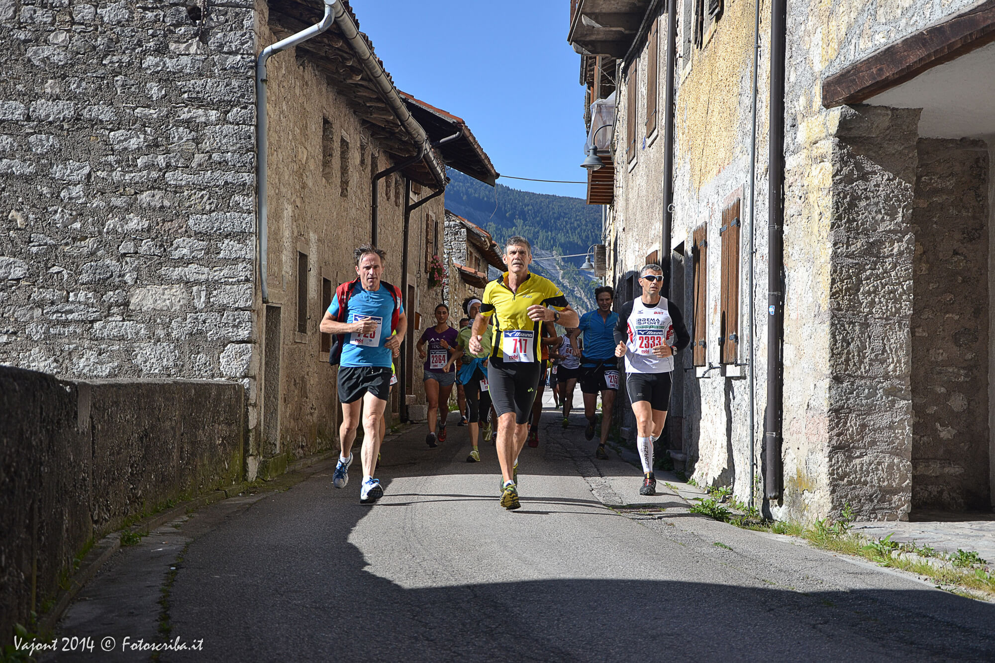
The initial stretch of 24 km of the route is identical to the circuit of 16 km. It starts from the Campelli’s bridge (Ponte Campelli), crosses the village of Dogna and passes through the cleft of Vajont. The approach to the dam takes participants to walk on the “tube-bridge” (ponte-tubo) and, after passing through the open gallery, to cross the entire of span the dam crest.
Once you reach the summit of the landslide the 24 km track separates from the 16 km track: the longest route follows the pathway crossing the landslide for its entire length to reach the place “ Le Spesse” and the historical center of Erto.
The route continues up to reach the “Trui dal Sciarbon”, the pathway the ancient villages of Erto and Casso, to be reunited with the 16 km track just before Casso and finally finish downhill towards the valley.


